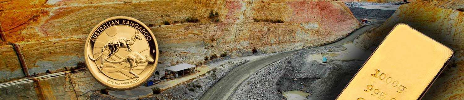
AIS Resources TSX-V AIS
  • Developing gold projects near Fosterville Gold Mine
  • About
    • Overview
    • Management & Directors
    • Geological & Engineering
    • Corporate Information
    • Disclaimer
  • Gold Projects
    • Golden Triangle – Lachlan Fold Belt
    • Fosterville-Toolleen Gold Project
    • Kingston Gold Project
    • Yalgogrin Gold Project
  • Metals
    • Manganese Projects
    • About Manganese
    • About Lithium
  • Investors
    • Stock Quote
    • Investor Presentation & Videos
    • Investment Policy & Goals
    • Regulatory Filings
    • Investor Contact
  • News
    • News Releases
    • In the News
    • Media Contact
  • Contact
    • Contact Information
    • Investor Email Sign-up
  • Menu Menu

Golden Triangle

The Golden Triangle / Lachlan Fold Belt – The Worlds Richest Alluvial Gold Nugget Region

Located in the Central Victoria region, the area encompasses 9,400 square kilometres and has produced some of the greatest alluvial gold nugget finds in the world up to this present time. AIS Resources is exploring and developing three significant advanced stage Gold Projects with over 250 sq km of property in Australia’s gold-rich regions – and two of those projects are located in the Lachlan Fold Belt, also known as the Golden Triangle.

AIS Resources currently has two gold projects in the Victoria Lachlan Fold Belt region that include:

The Toolleen-Fosterville Gold Project

The project includes the 26 sq km Exploration Licence EL6001, with reported production of 7,000 tonnes @ 10 g/t Au from the top 60 metres and an 88 gm nugget on surface. The drill-ready property is the closest one (12 km) to Kirkland Lake Gold’s (NYSE: KL) Fosterville Mine – the lowest-cost producer worldwide at $315/oz and 34.3 g/t with a past and present reserves of 9 Moz* gold. 

Kirkland Lake Gold reported third-quarter gold production of 339,584 oz., a 3% increase over the 329,770 oz. generated in the prior quarter. The Detour Lake and Fosterville mines led this output, producing 140,067 oz. and 161,489 oz. in the period, respectively. With 331,811 oz. of gold sales, at an average realized price of US$1,907 per oz., the producer closed out the quarter with US$848 million in cash, a 58% increase during the reporting period.

The Kingston Gold Project

The 167 sq km Exploration Licence EL6318 is located 35 km north-west from Stawell, Victoria. The drill-ready property is flanked by Navarre Minerals (ASX: NML) and was previously explored by BHP and WMC. The best recent drill results recorded were 3.6m at 16.89 g/t Au, including 2.5m at 24.27 g/t Au.

The Lachlan Fold Belt Facts

  • The Lachlan Fold Belt
    Is shaping up to be elephant country and it only just beginning.
  • Victoria Province Gold Exploration Guide
    The State of Victoria was one of the world’s leading sources of gold during the 1850s. The opportunity exists today for a major find similar to those of the past.

MORE INFO COMING SOON

* Fosterville Mine’s past and present resources of 9Moz Au as reported by Earth Resources, Victoria State Government

Mineshafts on Kingston Exploration Licence

Quartz contained in breccia

Historically, the Kingston Gold Project Includes Numerous Gold Mines

From 1900 to 1903, hard rock gold mining occurred at the Kingston Mine (PL007276 – 150m x 350m – excluded from our EL), with production estimated to be 2,762ozs of gold from 11,764 tonnes of ore, at an average grade of 7.3g Au/t. AIS has secured a 15% royalty for any gold taken up to 150m from the Kingston Mine Collar on the company’s EL.

Previous exploration at North Kingston EL was undertaken by BHP/WMC under joint ventures with Southern Continental, Hume Mining and Platsearch. BHP commenced exploration between 1931-32 at the North Kingston EL by sinking a shallow prospecting shaft situated approximately 25 metres northeast of the Old Kingston Mine shaft.

From 1986 to 1989 Western Mining Corporation recognised the potential for high-grade mineralisation associated with quartz reefs. Magnetic units that fall along the Kingston Landsborough trend have gold occurrences in outcropping areas, making this magnetic trend a favourable corridor for hosting gold deposits. Previous drilling by Hume Mining and WMC has intersected 1m at 15.4g/t Au and 2m at 24.8g/t away from the Kingston Mine area.

WMC Limited (“WMC”) drilled 213 percussion reverse circulation and diamond holes totalling 10,312m around the old Kingston Mine. Significant gold intersections were 8m @ 23.0g Au/t from 28m in KINC6; and 9m @ 40.5g Au/t from 78m in KINC58. More recently, Range River Gold Limited (“RRG”) (2002-2010) undertook a program of geological mapping, rock chip sampling and drilling. The best drilling results were 5m @ 12.6g Au/t from 63m in hole KNGC6; 6m @ 5.8g Au/t from 52m in hole KNGC4; and 5m @ 4.3g Au/t from 77m in hole KNGC2.

More recently in 2002-2010 Range River Gold Limited (“RRG”) undertook a program of geological mapping, rock chip sampling and drilling. The best drilling results were 5m @ 12.6g Au/t from 63m in hole KNGC6; 6m @ 5.8g Au/t from 52m in hole KNGC4; and 5m @ 4.3g Au/t from 77m in hole KNGC2.

In January 2012 Navarre Minerals Limited which held the concession at the time announced diamond drill results of 16.9m at 5.5g Au/t from a depth of 65.7m down-hole, including 3.1m at 29.5g Au/t. Visible gold was identified between 65.7m and 65.9m down-hole within a quartz breccia on the hanging wall side of a quartz lode structure.

Drilling Undertaken by Current Owners

HQ Diamond Drilling was undertaken in four holes in March 2019 near the Old Kingston Mine site. Holes SWK001 to 4 were drilled by Starwest Drilling contractors to a depth of 70 to 80m. There was a range of results up to 24.27g/t Au.

Kingston Exploration Licence (EL) map shows location of the North Kingston Exploration Licence, the Ararat Exploration licence and neighbouring projects.

Ararat Exploration Licence (EL) showing neighbouring projects

North Kingston Exploration Licence (EL) property map shows the location of numerous drill holes and gold discovery deposits. The ConnerCoote Prospecting Licence is outlined in blue. Quartz veins and reefs (in red) are drilling targets.

  • Golden Triangle – Lachlan Fold Belt
  • Fosterville-Toolleen Gold Project
  • Kingston Gold Project
  • Yalgogrin Gold Project

LATEST NEWS

  • A.I.S. Resources Receives Favourable Initial IP Geophysics at Yalgogrin Gold ProjectJanuary 20, 2021 - 2:00 am
  • A.I.S. Resources Amends Financing TermsJanuary 11, 2021 - 1:30 pm
  • A.I.S. Resources Announces FinancingJanuary 7, 2021 - 4:00 pm
  • A.I.S. Resources Announces Grant of OptionsJanuary 7, 2021 - 12:00 pm
  • A.I.S. Resources Preliminary Radar Geophysics shows prospective geological structures at Fosterville-Toolleen Gold PropertyJanuary 5, 2021 - 5:30 am


GOLD PRICE

[Most Recent Quotes from www.kitco.com]

ABOUT
Overview
Management & Directors
Geological & Engineering
Corporate Information
Disclaimer
GOLD PROJECTS
Fosterville-Toolleen Gold Project
Kingston Gold Project
Yalgogrin Gold Project

METALS

MANGANESE
Manganese Projects
About Manganese

LITHIUM
About Lithium
INVESTORS
Stock Quote - AIS
Investor Presentation & Videos
Investment Policy & Goals
Regulatory Filings
Investor Contact
Investor Email Signup

NEWS
News Releases
In the News
Media Contact

CONTACT
Martyn Element
Chairman of the Board & Director
E: melement@aisresources.com

Phil Thomas
President & CEO
E: pthomas@aisresources.com

T: 1-604-687-6820
F: 1-604-909-4682
Suite 2300
1177 West Hastings Street
Vancouver BC
Canada V6E 2K3

© Copyright - AIS Resources Ltd. TSX-V: AIS


Branding and Design: NextPhase Strategy Marketing Inc.
© Copyright - AIS Resources TSX-V AIS - Enfold Theme by Kriesi
  • Twitter
  • Facebook
  • Dribbble
Scroll to top